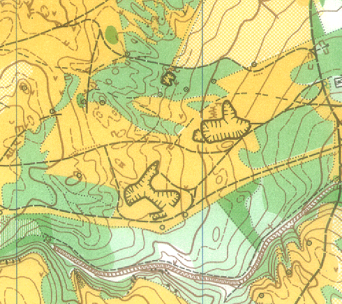
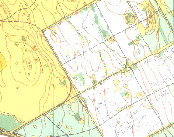
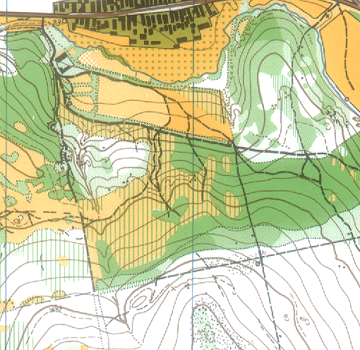
Terrain, maps
Terrain: Hill-country, the high above the sea level is 150-440 metre. The configurations of the terrain can be lsited in 2 groups:
- With gentle features of the ground: little valleys, ridges, cones, craggy mountain-ridges, grove and intermediary runnable cover of ground.
- Parallel ridges, valleys, rock masses, the ground cover is open, half-open and well runnable pinewoods.

Maps: New maps will be made based on IOF standard with the fieldworks of 1995-96. Scale: 1:15000, Equidistance: 5m.

 Back to the 10th WUOC!
Back to the Hungarian Orienteering HomePage