| XII. 20. | PhD defence by Kerkovits Krisztián |
| XII. 7-8. | Daniel Nyangweso, PhD student, gave a paper in the Geo-Mundus international symposium in Lisbon, Characterizing lineage of geographical names using public and geoparsed volunteered geographic information within a digital gazetteer service in Kenya. |
| XII. 7. | Scientific Day of Cartography |
| XII. 6. | Undergraduate research papers presented at the Department: Takáts Tünde: Changes in the forest cover of the Gerecse Mountains and their impact oon soil erosion. Pál Márton: Analysis of the spatial changes of geotouristic evaluation. Both research papers were supervised by Albert Gáspár. |
| XII. 5. | Klinghammer István had an interview with Gercsák Gábor on some exciting topics of cartography in The Evening on Kossuth Radio. |
| XI. 22-23. | Török Zsolt gave a paper in Pécs in the 11th Conference on Hungarian Political Geography: Cartography and the "military landscape" – maps and the military events of the Turkish wars (16–17th c.) |
| XI. 21. | Open Day in the Faculty of Informatics. Elek István gave a paper, Navigation systems in driving autonomous cars. Pál Márton and Vörös Fanni students were on duty at the stands./td> |
| XI. 15-16. | Light–space–image conference in Gárdonyban. Papers from the department:
|
| XI. 9-10. | Earthscienes in whirl. The department is among the exhibitors in the Museum of Natural Sciences. |
| XI. 8-9. | Georg Gartner, professor of the Technical University of Vienna, is awarded with doctor et professor honoris causa of the university. |
| X. 31. | Zentai László is an invited speaker in Thessaloniki in the 15th Greek Cartographic Conference. His paper: Modern cartography – ICA's view |
| X. 25. | Club-meeting of cartographers |
| X. 11-13. | Pál Márton MSc student participated in the GEOTOUR 2018 international geotouristic conference in Slovakia. His paper: Comparison of geotourism assessment models: an experiment in Bakony–Balaton UNESCO Global Geopark, Hungary.. |
| X. 9. | Török Zsolt gave a lecture, "Cartography for cognitive visualization: past, present and future" at the Nokia Bell Labs FutureX Day conference. |
| X. 5. | Zentai László opens the 18th International Orienteering Map Conference with the lecture, Orienteering and cartography |
| X. 3. | Albert Gáspár and Gede Mátyás pre-habilitation lecture |
| X. 1-5. | Kiss Veronika Flóra participated in the Geo Delft 2018 Conference in Delft in the Netherlands |
| IX. 28. | Night of researchers |
| IX. 27. | Press conference on the new National Atlas of Hungary – Natural Environment.
Zentai László gave a lecture, “SDI and ICA” at the opening of the SDI Days in Zagreb. |
| IX. 24-28. | Pál Márton MSc student participated in the workshop, "Geoheritage management" organized by the EGU and the Minho University, Braga, in Portugal. His paper: Communication refinement in Bakony–Balaton UGGp. |
| IX. 21. | PhD defence by Olasz Angéla |
| IX. 20. | 5vös 5 km race. Our competitors: Gede Mátyás, Irás Krisztina. Campusz orinteering race. . Our competitors: Gede Mátyás, Zentai László. |
| IX. 8-14. | Albert Gáspár and Pál Márton (MSc student) represents the department in the 8th International UNESCO Global Geoparks conference in Madonna di Campiglio, Italy. Their joint presentation: Geotourist map: communication between geostaff and tourists |
| IX. 10-14. | Stefan Bonchev and Silvia Marinova (from the University of Architecture, Civil Engineering and Geodesy, Sofia) visits the department in Erasmus exchange. Silvia Marinova gave a lecture, Thematic Mapping for Disaster Management. |
| VIII. 27. | Zentai László gives a lecture, "Orienteering maps in cartography" in Toyama in the conference of the Japanese Cartographic Association. |
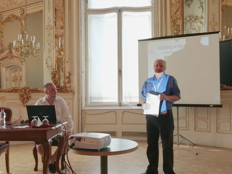
| VIII. 23. | Török Zsolt Győző participated in the CogInfoCom 2018 (9th IEEE International Conference on Cognitive Infocommunications) conference in Budapest, with a paper "Looking at the map or navigating in a virtual city" (co-author:Török Ágoston). Springer Publishing released the conference volume of last year’s conference with their study, "Data visualization: a new field with long history". |
| VII. 15. | The American Nova Science Publisher released the book of Elek István: Emergence of Intelligence. |
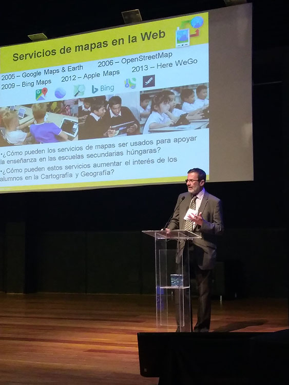
| VII. 9-12. | José Jesús Reyes Nunez represented the department at the 10th Colloquium of Cartography for Children and Scholars & 1st International Meeting on Cartography and Spatial Thinking in Brazil, at the University of São Paulo. His paper (co-author Kiss Judit, former MSc student): Ideas y experiencias sobre el uso de servicios de mapas web en la educacion. |
| VII. 2–3. | MSc state exams. |
| VI. 29. | MSc state exams for international students. |
| VI. 26–27. | BSc final exam. |
| VI. 18–23. | 7th International Conference on Cartography & GIS conference in Sozopol (Burgas, Bulgaria).
|
| VI. 11–15. | Reyes Nunez José Jesús visited the Department of Cartography and Photogrammetry in the University of Construction Engineering and Geodesy in Sofia in Erasmus exchange. He gave classes on „Geovisualization and Cartography”. |
| VI. 10. | The book, “Archaeology of place names 2.” by Faragó Imre was published, which is the closing volume of his books published in 2016 and 2017 (Ber, Bere, Berény, and Archaeology of place names 1.). His book was presented at the Festival Week of Books and signed the volume in Vörösmarty tér, at the desk of Fríg Publisher. |
| V. 29. | Annual reports by the PhD students |
| V. 28–VI. 2. | Gercsák Gábor gave classes on translating technical literature in Erasmus exchange in the Babeş–Bolyai University in Kolozsvár for students of translation. |
| V. 24–25. | IXth Conference and Exhibition on GIS in Debrecen. Participants from the department:
|
| V. 23–25. | Gercsák Gábor participated in the international conference From the geography of languages to the geography of names. His paper: Foreign place names in Hungarian atlases – a selection from the past 200 years. he chaired one of the sessions. |
| V. 22. | MSc state exam for international students. . |
| V. 16. | Departmental defence by Kerkovits Krisztián |
| V. 10–11. | Török Zsolt gives a lecture, Meeting of cartographic cultures in the conference o Dimensions at the Faculty of Humanities of ELTE. |
| V. 10. | Faculty of Informatics, Neumann Day. Outstanding Teacher of the Faculty award is given to Elek István and Faragó Imre. Outstanding Student of the Faculty award is given to Pál Márton and Vörös Fanni. |
| V. 8. | Eötvös 5 km. Our competitors: Albert Gáspár, Gede Mátyás, Irás Krisztina |
| V. 8. | Orienteering race in the campus. Our competitors: Albert Gáspár, Gede Mátyás, Zentai László. |
| V. 2-VI. 8. | The longest break ever of lazarus.elte.hu |
| IV. 27–30. | Zentai László gave a lecture, "Development of Hungarian school atlases in the last decades" in Czechia, in Olomouc, at the joint meeting of three commissions of the International Cartographic Association (Atlases, Cognition, Usability). |
| IV. 26. | Day of Girls at the Faculty of Informatics. The Department participated with a programme, “Use your mind and GPS!” |
| IV. 23–26. | Karel Stanek, an Erasmus exchange teacher from Brno gave lectures:
|
| IV. 18–20. | Digital Approaches to Cartographic Heritage conference in Madrid. Papers presented by the Department:
|
| IV. 12–13. | EGU 2018 General Assembly Bécsben. Papers and posted by the Department:
|
| IV. 7. | Geo Days in the Lurdy House, where the Department had an exhibition stand. |
| III. 26-30. | Gede Mátyás on Erasmus teaching mobility. |
| III. 23. | –Exhibition and publication of the results of the Beautiful Hungarian Map competition in the National Széchényi Library. |
| III. 21. | –Zentai László gave a lecture, “University Digital Map Collection: an aid of supporting university education”, at a conference dedicated to the world day of surveyors and geoinformatics. |
| III. 19–23. | Jesús Reyes took part in the 10th Conference on Geomatics in Habana, Cuba, organized under the aegis of Informática 2018 international conference. On the first day, he held a pre-conference workshop, Soluciones cartográficas en la geoinformática (Cartographic solutions in Geoinformatics). On 22 March, he had a keynote speech, "Uso de los servicios de aplicaciones de mapas de la Web en la enseñanza secundaria". After the conference, he did research in the history of cartography in the "José Martí" National Library. |
| III. 14–17. | Annual conference of EUROGEO in Cologne (Germany) with the motto, "Geography for All". The Department was represented by Jesús Reyes with a paper, “Testing collaborative cartography in a Hungarian Secondary School” prepared with Kiss Judit, MSc student. On 16 March, he participated in the annual assembly of EUROGEO. |
| III. 5–9. | – Aleksandar Djordjevic, a CEEPUS visiting teacher of the University of Belgrade gave classes at the Department:
- WEB GIS in Serbia: challenges and perspectives - GIS in local selfgovernment: best practice examples - GIS for vulnerable groups management: Substandard Roma settlements mapping. |
| II. 5. | The Faculty of Military Sciences and Officer Training at the National University of Public Service organized a contest of student cartographers for the fifth time dedicated to the Day of Independent Military Cartography. There were twelve teams, two of them representing our department: - Hetedik emelet: Pál Márton , Vörös Fanni, Stork Mihály, Dusek Bence és Zelenka Balázs - Tréképészek 2.0: Kiss Veronika Flóra, Eszényi Krisztián, Varga Csaba Gergely, Kulcsár Hajnalka és Gebei László The teams had to answer forty questions in these fields: history of military mapping, general and military geography, cartography and topography, geoinformatics. A member from each team had to solve a GPS exercise too. The team Hetedik emelet (Seventh Floor) won the competition, the team Tréképészek won the second place. |
| II. 1.– | Kiss Veronika Flóra became the coordinator of the English language training. |
| I. 30. | Final exam of MSc students. |
| I. 29. | Final exam of BSc students. |
| I. 29. | Final exam of MSc students in the former system. |
| I. 26. | Open day at the Faculty of Science. |
| I. 26. | Open day at the Faculty of Informatics. |
| I. 25. | Final exam of Erasmus students. |
| I. 25. | Ceremonial lectures for the 70-year old Prof. Szabó Mária (Department of Environmental and Landscape Studies). Our department was represented by Márton Mátyás. |