XII. 19. |
|
XII. 18. |
|
XII. 17. |
|
XII.15. |
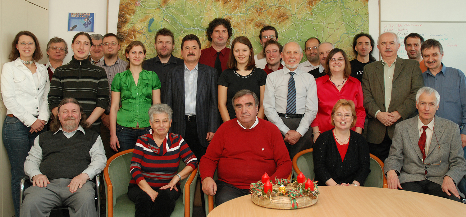
Celebration of the 20th anniversary of the establishment of the Department of Geoinformatics at GEO in Székesfehérvár. The department was represented by Elek István, who gave a paper, Geoinformatics as I see it |
XII. 3. |
Conference of undergraduate research at the department 60th anniversary of the establishment of Cartographia Company. The department was represented by Zentai László |
| XI. 20. | Open Day of the Faculty of Informatics. Bérces Ádám presented his research at the stand of the department. |
| XI. 12. | 500 years of the map of Lazarus. Ceremonial session at the Hungarian Academy. |
| X. 30-31. | Török Zsolt had a presentation (Wolfgang Lazius, maps of Hungary) on the 500th birthday of Wolfgang Lazius in a Vienna conference. |
| X. 25-31. | As a guest professor, Márton Mátyás gave a course on oceanography to seventeen 2nd year BSc students of geography at Babeş-Bolyai University in Kolozsvár (Cluj). he also gave a lecture on the thematical representation methods used in the atlases published by the department (Atlas of Central Europe, Events of 1956) for twenty 2nd year MSc students of geography.
Erasmus teacher mobility visit of Gede Mátyás to Istanbul. |
| X. 24-31. | Erasmus teacher mobility visit of Mészáros János to Babeş-Bolyai University in Kolozsvár (Cluj). |
| X. 23-31. | Zentai László, member of a university delegation, visited several universities in Belo Horizonte and Porto Alegre in Brazil. |
| X. 22-XI. 1. | Gercsák Gábor participated in the Tasmanian field trip of the International Geographical Union (IGU) commission on land degradation. The group studied natural conditions, the processes of deforestation, open cast mining, environmental pollution and the periglacial processes of the last ice age. |
| X. 21. | A book, Budapest 1956 - Időutazás - A Journey to the Past, written by Horváth Miklós and Szikits Péter, was presented in the Institute and Museum of Military History. The book includes several revised maps of Budapest origin ally prepared by the department for the atlas Events of 1956, published in 2006. The maps were revised by our former student, Abonyi György. The department was represented by Márton Mátyás. |
| X. 14. | The publication, Small Atlas of Family Names, prepared by Vörös Ferenc, was presented at the Hungarian Academy. After the introductory presentation by the author, Márton Mátyás added the importance of dual, hyphenated family names used in Transylvania. The latest PhD-awardee, Agárdi Norbert also took part in the meeting. |
| X. 10. | PhD defence of Agárdi Norbert
ELTEFeszt event of the faculty. Jesús Reyes and Juhász Barbara gave a presentation, Distorted cartograms in education. Török Zsolt Győző and Kiss Tünde presented interesting objects from the collection of the department (Tales about maps) |
| X. 8. | Session of Earth Sciences at the Hungarian Academy. The department was represented by Márton Mátyás. |
| IX. 30. | Orienteering competition at the Lágymányos campus. Our starters: Albert Gáspár, Gede Mátyás, Kovács Béla, Ungvári Zsuzsanna, Zentai László. |
| IX. 29. | Memorial session (World of Names) dedicated to Hajdú Mihály at the Faculty of Humanities. The department was represented by Márton Mátyás and Gercsák Gábor. |
| IX. 26. | The Night of Researchers: the department offered a programme on globe making. Organizers: Gede Mátyás, Ungvári Zsuzsanna and Szabó Renáta PhD student. |
| IX. 25. | Conference on the life of Katona Mihály in the Hungarian Geographical Museum, in Érd. The department was represented by Márton Mátyás képviseli. There were 14 papers presented. The Teleki Sámuel Medal was awarded to Martinovich Sándor, responsible editor of Cartographia Company. He was among the first students who received their degree in 1957. 5vös 5 km race. The department was represented by Gede Mátyás, Irás Krisztina, Ungvári Zsuzsa and Gulyás Zoltán PhD student. Gede Mátyás was the fastest of the teachers, Gulyás Zoltán was 3rd among the PhD students. |
| IX. 21-25. | Albert Gáspár was invited to Albania to participate in the workshop on databases of regional structural geology as part of the XXth CBGA conference. He met the dean of the Faculty of Geology, Tirana Technical University, to discuss possible cooperation. |
| IX. 17. | Gercsák Gábor and Márton Mátyás represented the department at the workshop "Onomastics and Terminology" at the Faculty of Humanities of Károli Gáspár Catholic University. Gercsák Gábor had a paper, "Translation of hydrographic names into English". |
| IX. 15-I. 25. | Incoming Erasmus students: Ibon Guerra Areizaga (University of Vascongadas),Tomas Burian (University of Olomouc) |
| IX. 11. | Prof. Lin Hui (Institute of Space and Earth Information Science, The Chinese University of Hong Kong) has a paper, From maps to GIS and VGE: the evolution of geographic language. |
| IX. 8-12. | Dr. Nihat Ersoy, teacher from the Yildiz Technical University, Istanbul, on exchange in Erasmus teacher mobility programme, gave a paper, "Solution of spherical triangles in geodesy with the equations used in spherical trigonometry" |
| IX. 8-9. | Török Zsolt Győző participated in the conference, Cartography between Europe and the Islamic World 1100-1600 in London at the Queen Mary University, London. He had a paper, Opposite Views: Source, Audience and Cartographic Representation of the 1566 Siege of Sziget in Hungary. |
| IX. 6-23. | Jesus Reyes had a study trip to Brazil. He gave papers at the Institute of Earth Sciences of Paulista State University (UNESP, in Rio Claro) and in the Institute of Geography (in Ourinhos) on mobile based school atlases. He participated in the IVth Workshop of GEOCART, and was one of the speakers at the roundtable discussion on “Digital techniques and ‘collaborative’ cartography”. He also had a 30-hour course on thematic geovisualization in cartography. |
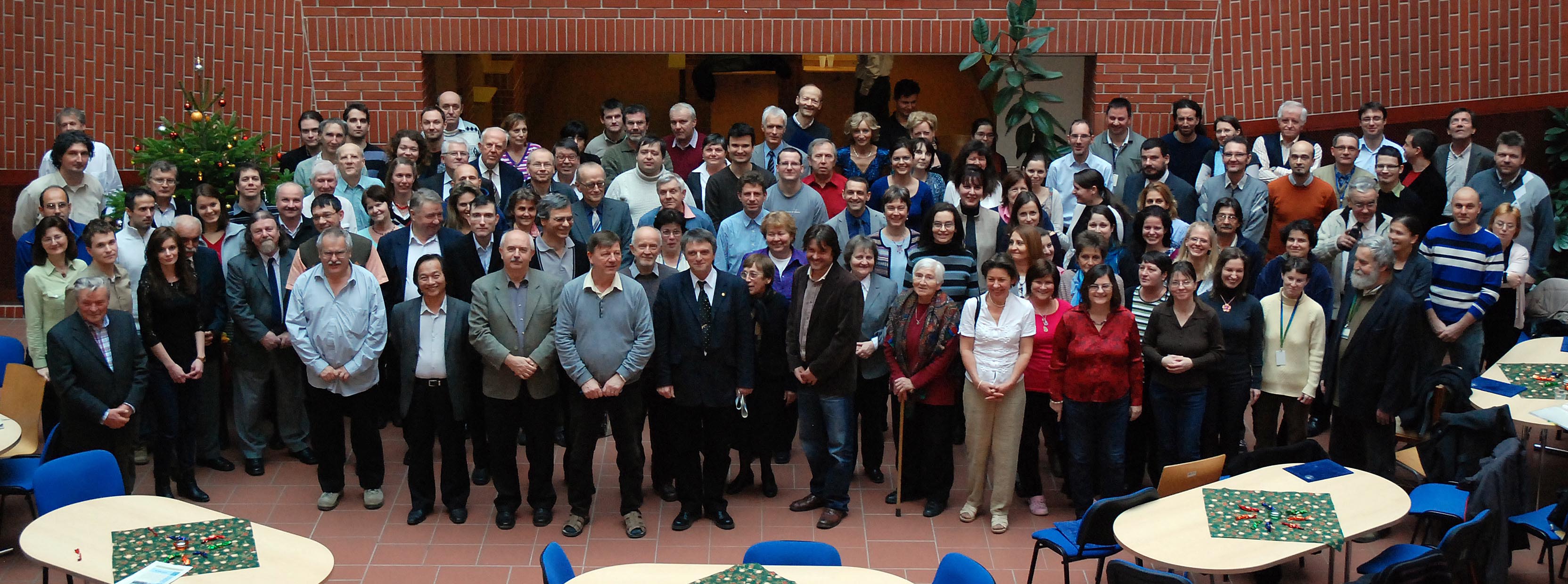
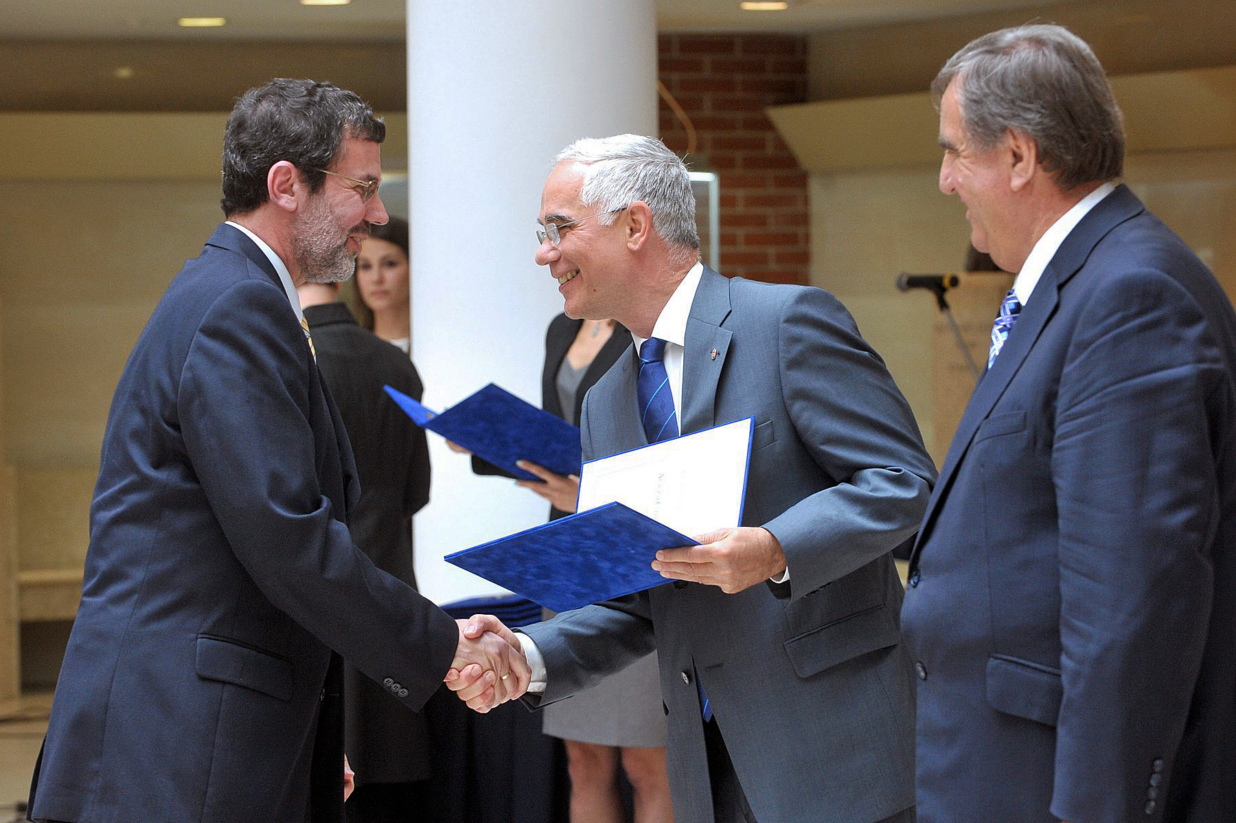
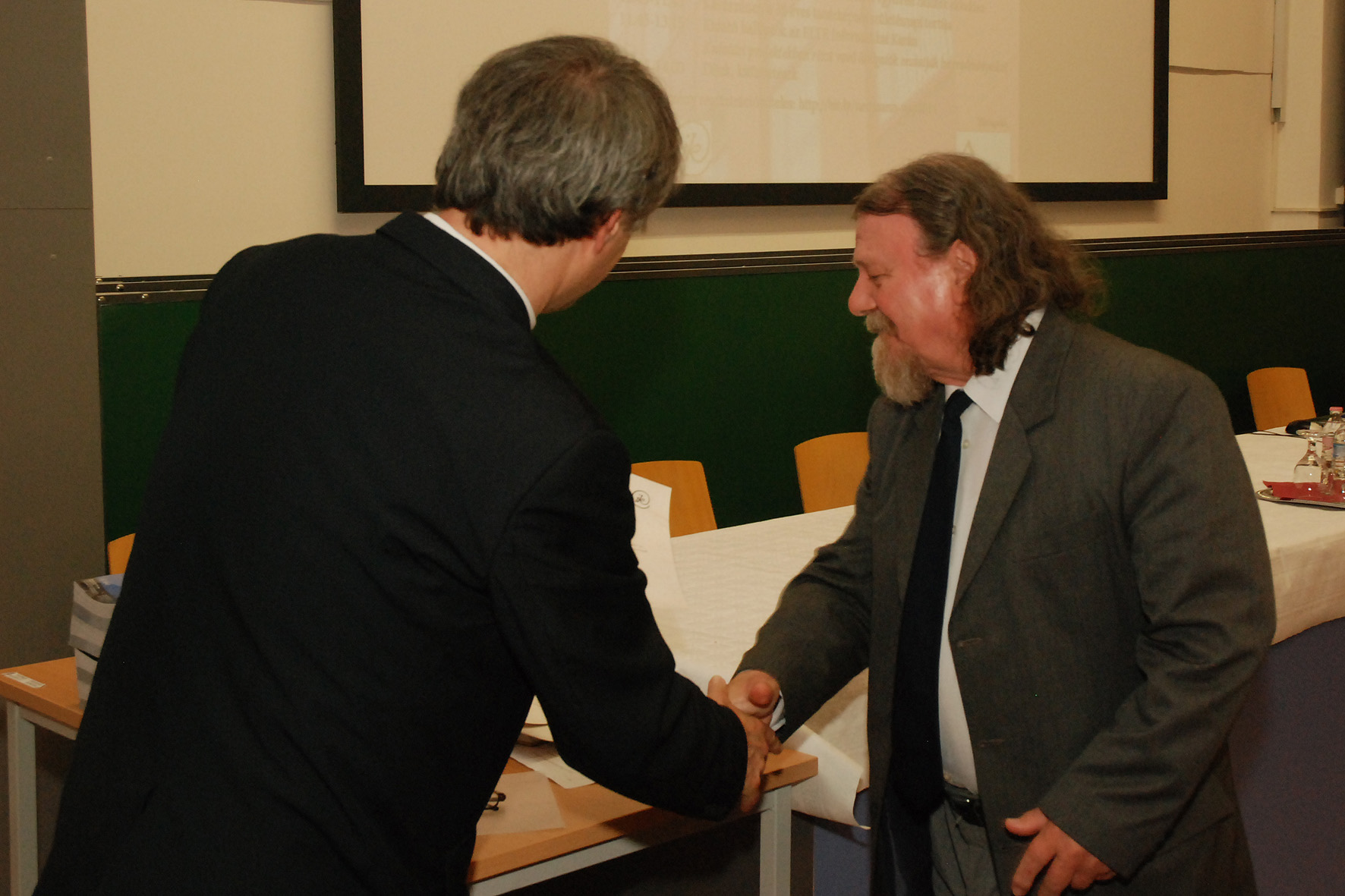
| IX. 5. | Opening of the academic year. Márton Mátyás receives his document of professor emeritus. Gercsák Gábor was awarded with the silver rank of Pro Universitate Medal. |
| IX. 4-5. | 9th International Workshop on Digital Approaches to Cartographic Heritage organized by the department and the National Széchényi Library. Presentations from the department: L. Zentai: Revisiting the Preservation of Modern Cartographic Products E. Kiss, Zs. Ungvári, P. Fulajtár: Digital Map Collection Project at the National Széchényi Library K. Irás, B. T. Nguyen: Geolocating System of Old Maps – Without Georeferencing G. Timár, J. Mészáros, G. Molnár: A Simple Solution for Georeferencing the Cassini Map Series of France J. Jeney: The Use of Digital Technology in International Archival Map Research T. Kiss: Digital Processing of the Map Collection of the Environmental and Hydrological Archives M. Gede: Novel Globe Publishing Techniques Using WebGL R. Szabó: Virtual Visualization of a Celestial Globe Zs. Ungvári: A Method to Create Interactive Gazetteer to Old Globes G. Albert: What Does an Archive Map Tell the Contemporary Map Readers? Information Transmissivity Analysis on the Survey Maps of the Josephinische Landesaufnahme (1763–1787) Á. Hegedüs, G. Gercsák: Life and Works of Sándor Radó Szekcióvezetőink: Albert Gáspár, Gede Mátyás, Gercsák Gábor, Irás Krisztina. |
| IX. 3. | Joint meeting of ICA commissions and workgroups at the department, organized by: Commission on Cartography and Children, Commission on Planetary Cartography, Working Group on the International Map Year |
| IX. 1. | Elek István finishes his sabbatical year and returns to the department.
|
| VIII. 29. | Departmental opening of the academic year in Pilismarót organized by Elek István |
| VIII. 21-22. | Presentations at the Hungeo conference: Faragó Imre: Landscape systems in cartography Zentai László: The balance of accuracy and distortions in cartography |
| VII. 29. | Zentai László gave a presentation, The Evolution of Cartographic Visualization in Conjunction with Geographic Information Science in Kigali (Ruanda), at the InterCarto-InterGIS-20 conference |
| VII. 21-VIII. 10. | Konrádi Zoltán, a student commissioned by the department, participated in the GPS survey of a dinosaur site in Iharkút, directed by the joint research team of the Hungarian Academy, Hungarian Natural History Museum and Paleontological Research Group of the university. |
| VII. 10. | Zentai László was elected member of the presidency of the International Orienteering Federation in Lavoren, Italy, and began his fifth two-year cycle |
| VII. 2-4. | MSc state exams |
| VI. 30-VII. 1. | BSc state exams |
| VI. 20. | The Department was represented by two papers at the convergence, Knowledge Management in Geoinformatics, organized by the National University of Public Service: Gercsák Gábor: Knowledge management in the new curriculum of the MSc training of cartographers at ELTE, and Török Zsolt Győző: The beginnings of military mapping and the geoinformatical analysis of the 16th century maps of Hungary. |
| VI. 16-19. | 5th Conference on Cartography and Geoinformatics, Riviera, Bulgaria. First keynote speaker was Zentai László, From the early digital technologies to web 2.0 based cartography in the thematic maps. Jesus Reyes’s paper: The use of cartograms in school cartography. Jesus Reyes also chaired a session. |
| VI. 13-15. | Faragó Imre participated in the conference SotM-EU 2014 is an OpenStreetMap in Karlsruhe, Germany |
| VI. 13. | Török Zsolt gave a paper, Mapping the Habsburg-Ottoman Frontier and Emerging Military Cartography in the 16th century at the 2014 ISHMap Symposium 'Mapping Conflicts, Conflicts in Maps’, Paris |
| VI. 5. | Annual report by the PhD students |
V. 30. |
|
V. 29-30. |
5th conference and exhibition of geoinformatics in Debrecen. Papers from the Department: |
V. 14. |
Márton Mátyás, Nemes Zoltán and Szabó Renáta visited the Great Library of the Reformed College of Debrecen, where they took more than 100 photographs of a celestial globe in the Csokonai Room. The beautiful globe was made by the Valk firm and published in Amsterdam in the 1700s, based on the data of Johannes Hevelius, astronomer. The globe was formerly restored by the National Széchényi Library. The cartographic content of the globe will be processed by Szabó Renáta, a PhD student, for the Virtual Globes Museum. |
V. 13-14. |
Zentai László participated in and gave a paper at the ceremonial meeting of the BEV and IMG in Vienna, Austria, organized to remember the 250th anniversary of the first military survey. |
V. 13. |
Ungvári Zsuzsanna, a PhD student, received the 2nd prize offered by the Association of Propagating Sciences in a competition. Her paper was Automizing cartographic generalization – How to make a good map? |
V. 8. |
Márton Mátyás received a certificate of merit for his activity in science on the Neumann Day of the Faculty of Informatics; Szigeti Csaba, student, and Albert Gáspár, supervisor received a certificate for their work in the undergraduate research. |
V. 5. |
Participants in the 5vös 5 km run race in the campus: Albert Gáspár, Gede Mátyás, Irás Krisztina. Gede Mátyás won the race of teachers and hit the record of research. |
V. 5-9. |
José Jesús Reyes Nunez gave a course, Soluciones cartográficas recientes en la visualización de datos (Latest map-based solutions in data visualization) at the Catalunya technical University, Barcelona within the frame of an Erasmus staff mobility programme. |
IV. 28. |
Bartos-Elekes Zsombor, associate professor of the Babes-Bolyai University in Cluj-Napoca (Kolozsvár) visited the Department within the frame of an Erasmus staff mobility programme, and gave papers: |
IV. 27-V. 2. |
Posters from the Department at the 2014 general assembly of the European Geosciences Union in Vienna: |
IV. 23. |
Talma Publishing House published the first volume of the heritage-touristic atlas of the Carpathian Basin: Architectural heritage. The maps in the atlas were made under the direction of Faragó Imre and Zentai László. |
IV. 15-18. |
Zentai László takes part in the Interexpo-GeoSiberia 2014 conference in Novosibirsk. His presented paper: Geospatial Information Access and Representation: the ICA’s view on today’s cartography |
IV. 7-11. |
Albert Gáspár visited the Department of Geoinformatics at the University of Salzburg in an Erasmus staff mobility programme. |
III. 27. |
Faragó Imre gave a lecture on his textbook, „All-round Cartography” to be published soon. |
III. 24-30. |
Nikolas Prechtel, professor at the Technical University of Dresden, gave lectures at the department in an Erasmus staff mobility programme. |
III. 21. |
|
III. 6-7. |
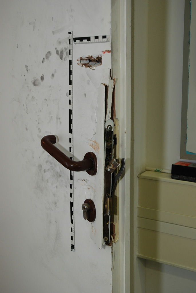
Burglary in the department, the loss is one monitor |
III. 1- |
Outgoing Erasmus students to Salzburg (Balázs Éva and Barancsuk Ádám) |
II. 25-28. |
CartoCon cartographic conference in Olomoucban (Czech Republic). Papers from the department: |
II. 4. |
Török Zsolt Győző represents the department at the ceremony of greeting the 95 year-old Hungarian military mapping service |
II. 1. |
Török Zsolt has a cartographic paper at the ELTEFeszt: „Invisible” maps: map visualization from the beginning to the information society |
II. 1.- |
Taiane Araujo de Jesus, student from Brazil, begins a one-year partial training at the department |
II. 1- |
Javier Azcoiti Tanco (University of Bilbao), Erasmus student, spend a semester at the department |